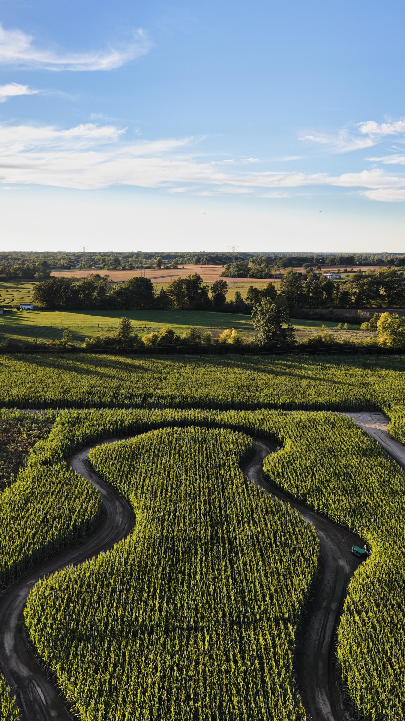
What Monroe businesses film from the air
Monroe is an industrial and lakeshore city, and aerial photography here shows scale. The Port of Monroe says it is Michigan’s only port on Lake Erie, bisected by the River Raisin, and its cargo runs from limestone and synthetic gypsum to pipeline sections and wind energy components. Port tenants, logistics firms and manufacturers use drone video to show docks, rail and highway access in one frame. La-Z-Boy’s world headquarters, which the company opened in 2015 on a 120-acre property that includes an 80-acre nature preserve, is the kind of corporate campus that reads best from above. Downtown storefronts along the river, lakefront homes and tourism businesses near Lake Erie round out the demand.
Open airspace, restricted ground
The FAA map over Monroe is open. We sampled the FAA’s Class Airspace and facility map data across the city, and every point is uncontrolled Class G at the surface with no LAANC grid. Detroit Metro’s Class B only reaches this far as a shelf starting at 3,000 feet MSL. Custer Airport, owned by the city, sits northwest of downtown without controlled airspace, and we keep clear of its traffic.
The ground is where the rules get strict. River Raisin National Battlefield Park, which preserves the site of the January 1813 War of 1812 battles at Frenchtown, bans drones on its land and water unless the superintendent approves in writing, under the park’s superintendent’s compendium. Just east of the city, Sterling State Park is the only Michigan state park on Lake Erie, according to the DNR, with a mile of sandy shoreline and more than 500 acres of marsh and lake plain prairie. Commercial drone work there needs written DNR permission, and the DNR asks for filming applications at least 60 days ahead.
The two parks are linked on the ground. The DNR says the River Raisin Heritage Trail connects Sterling to downtown Monroe by way of a 1-mile connector trail. That route makes a natural shot list for river-to-lake drone video, but the launch points have to sit on private land with the owner’s permission, outside both park boundaries.
Industry on the shoreline
Several of Monroe County’s biggest structures are secured energy sites. DTE’s coal-fired Monroe Power Plant is one; WDET reported in 2023 that DTE plans to retire two units in 2028 and close the plant in 2032. Fermi 2, DTE’s nuclear plant at Newport, is about 7 nautical miles northeast of downtown. The FAA’s national security restriction layer showed no drone restriction over it when we checked, but we do not fly near either plant, and we film industrial property only for the owner.
Light and seasons
Lake Erie sits to the east, so sunrise lights the port, the shoreline and the river mouth from the water side, and late afternoon sun falls on west-facing downtown blocks. Summer brings boats and a full beach at Sterling, where flights over occupied beaches are banned, so we work the shoreline early. Wind off the open lake can build quickly, and we hold a backup date for every lakeshore shoot.
Planning a Monroe shoot
Send the address, date window and what you need to deliver. From our Detroit studio we check the airspace, federal and state park boundaries, industrial property lines and landowner permission, then send a fixed quote. See our Detroit drone photography services, including industrial drone video and waterfront drone photography, or contact us to start.