What Delaware County films from the air
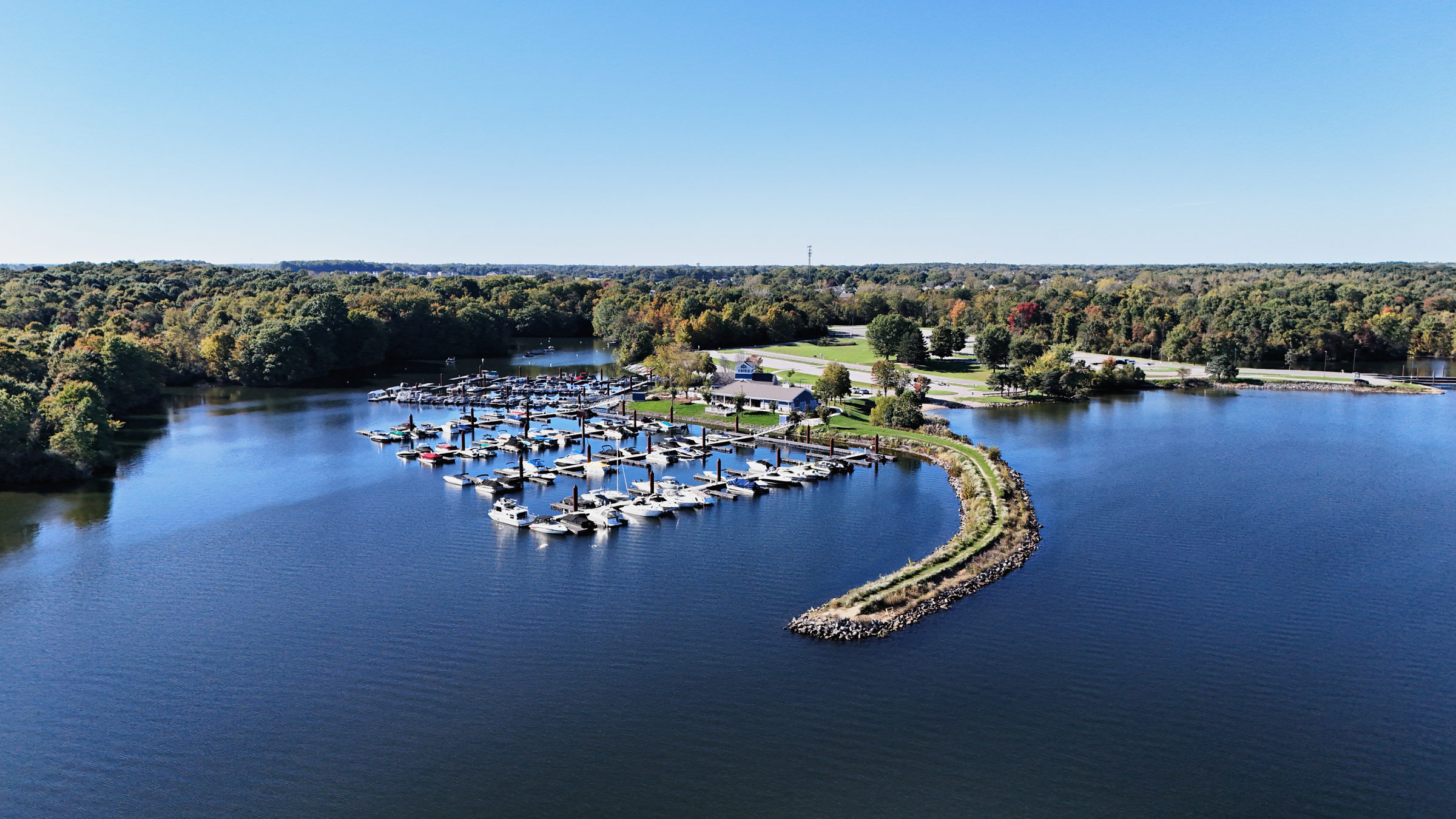
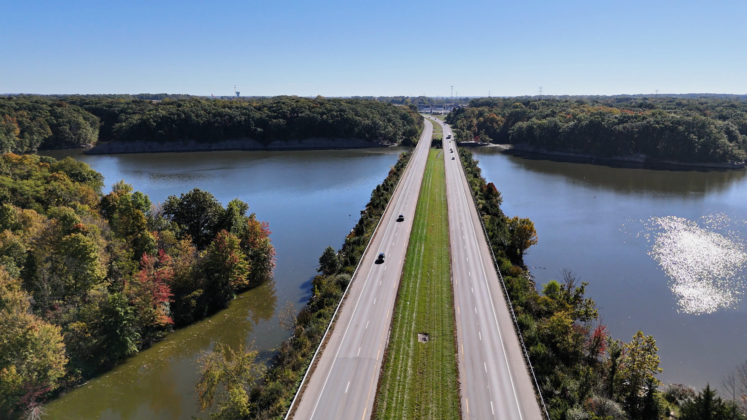
Delaware County sits directly north of Columbus, and most of its aerial subjects are water and open land. Alum Creek Lake has 3,387 acres of water and a 3,000-foot swimming beach, according to the county’s tourism bureau, and Delaware Lake sits north of the city inside Delaware State Park. Around them are campgrounds, marinas, cabins and lake houses that sell on setting, which a ground camera cannot show.
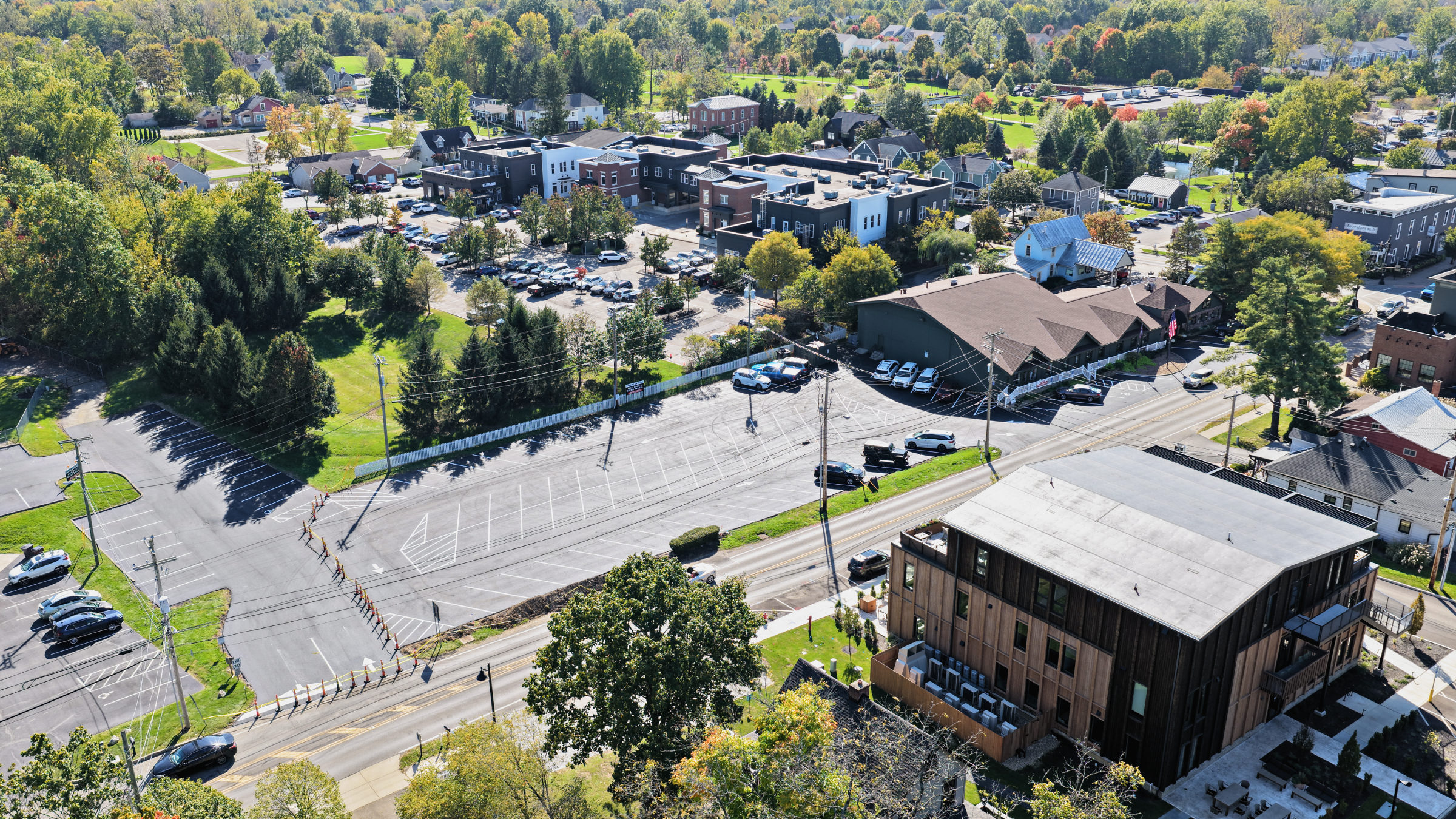
The city of Delaware is the county seat. Its downtown runs along Sandusky Street, and the 200-acre Ohio Wesleyan University campus, as the university describes it, sits within walking distance. South of the city, the townships toward Powell, Lewis Center and Polaris add new subdivisions, retail and offices that developers and brokers document from above.
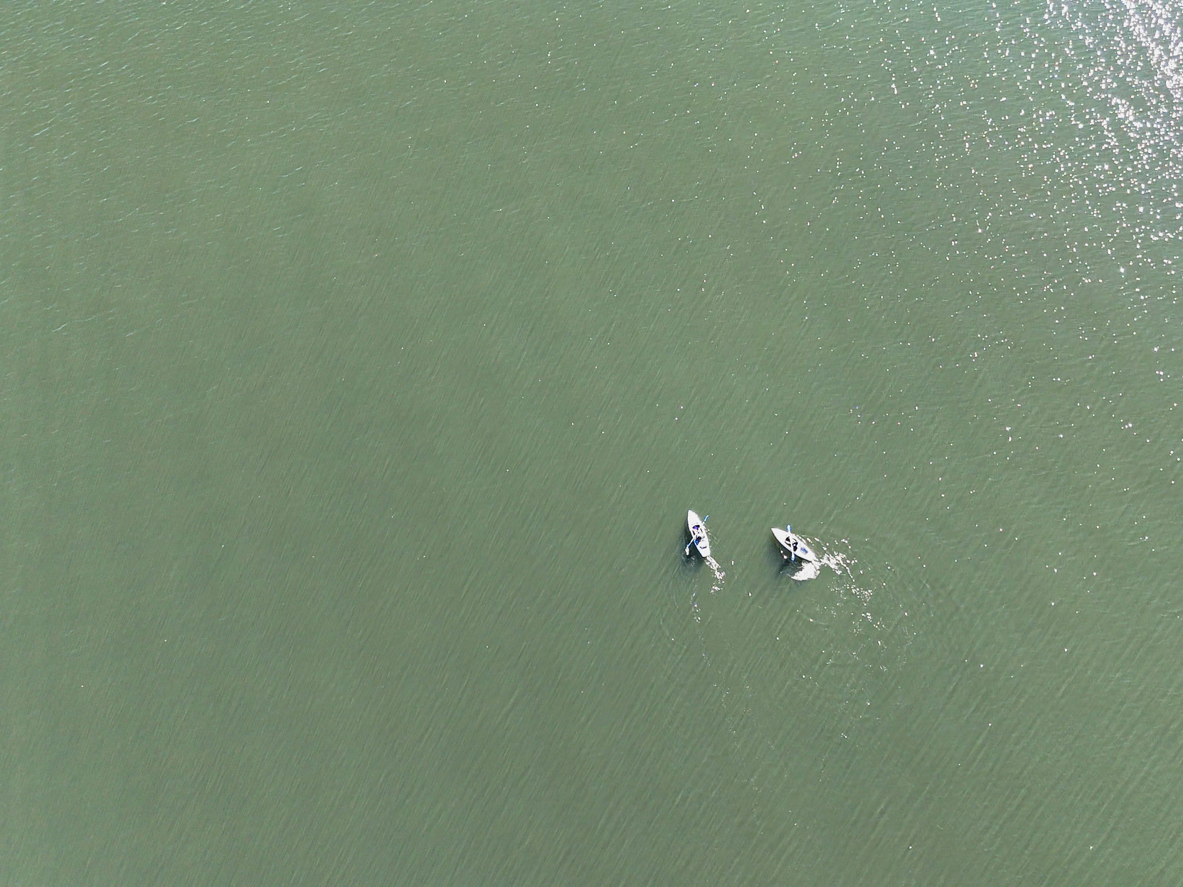
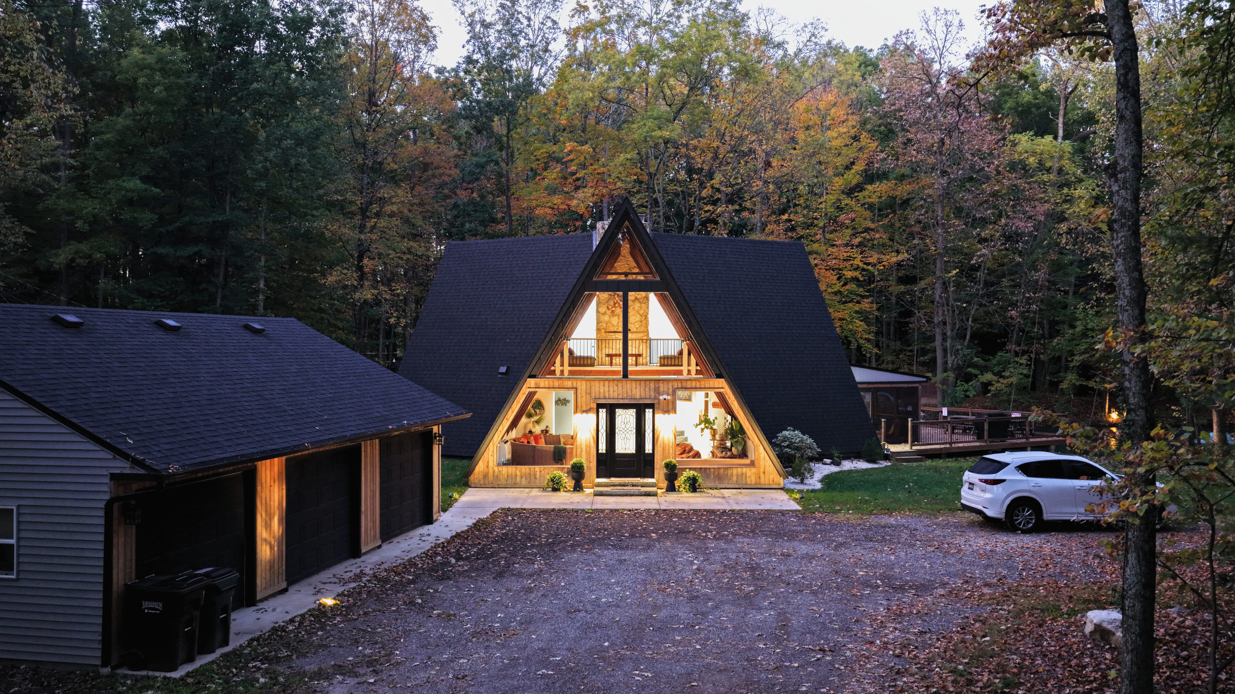
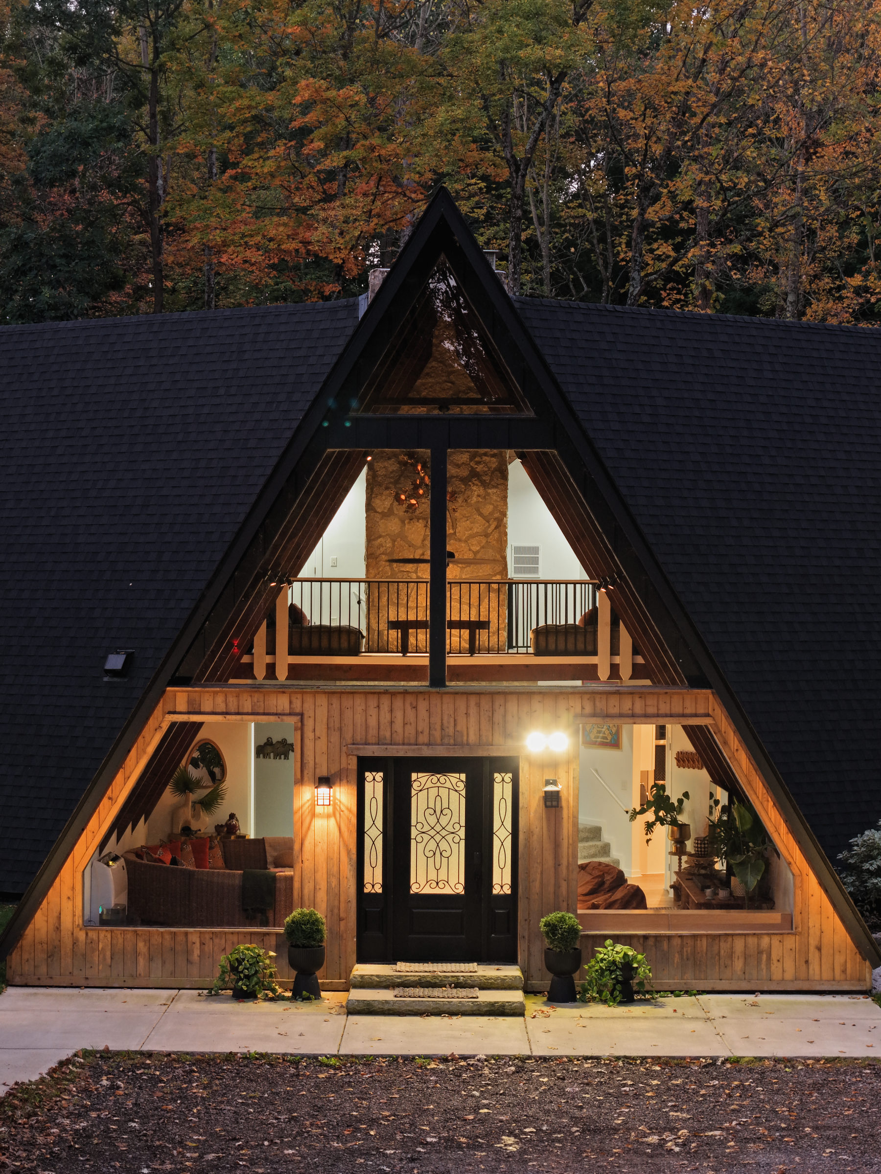
We flew tourism aerials across Delaware County in October 2026 for Destination Delaware County: a kayaker and the marina on Alum Creek Lake, fall color along the water, a small-town center from above and a lit A-frame cabin rental at dusk.
Open airspace, with an airport to watch
Most of the county is uncontrolled. We checked the FAA’s Class Airspace and UAS facility map data at downtown Delaware, Ohio Wesleyan, the fairgrounds, both state parks, Shale Hollow Park, Sunbury, Galena, Powell and Lewis Center. Every point came back Class G at the surface, with Class E starting 700 or 1,200 feet above the ground and no LAANC grid.
Delaware Municipal Airport (DLZ) is the closest airfield, about 2.4 nautical miles southwest of downtown. It has no Class D around it, so there is nothing to file, but it is a working public airport. We plan flights on the city’s southwest side to stay clear of its traffic and give way to any manned aircraft.
Controlled airspace starts at the county line. Over Polaris, the Class C of John Glenn Columbus International is a shelf that begins at 2,500 feet above sea level. At Highbanks Metro Park, the facility map for Ohio State’s Don Scott Airport shows a 400 foot grid, so addresses along that southern edge get a closer look.
Parks, campus and fair week
Land permission decides most Delaware County shoots. Alum Creek and Delaware are state parks, and Ohio Administrative Code 1501:46-13-11 requires permission from the Division of Parks and Watercraft both to fly there and to film park features. It bars flights over beaches, boats, roadways and crowds in any case. State nature preserves are stricter: rule 1501:17-11-03 requires written permission requested at least 30 days ahead.
The county’s own park district, Preservation Parks of Delaware County, requires a permit to launch or land a drone and written permission from its director for photos or video for commercial advertising, under its rules and regulations. We did not find a published drone policy for Ohio Wesleyan, so we ask the university before any flight over campus.
The biggest crowd of the year comes in late September. The Delaware County Fair ran September 19 to 26 in 2026, with the Little Brown Jug on Thursday, September 24. Harness racing is not on the list of events covered by the FAA’s standing stadium restriction, but the fairgrounds are private event grounds and Part 107 limits flights over people. Fair-week aerials need the fair’s approval.
Light and seasons
The lakes are at their best from late September through October, when the shoreline trees turn and the water is calm early in the day. Summer brings boats and beach crowds, which make for lively footage but rule out flights directly over the swimming areas. Dusk works well for cabins and village centers, when windows and string lights glow against the last of the sky; Part 107 requires anti-collision lighting for flights during civil twilight.
Planning a Delaware County shoot
Send the address, date window and deliverables. We check the grid, park and campus rules, fair and event dates and landowner permission before we quote, then travel from our Detroit studio, about 175 miles by road. See our Columbus drone page, our Ohio drone laws guide, our drone photography and hotel and resort aerial services, or contact us to start.